


Albania, towards new national maps - ADF, investment of 259 million lek for the digitalization of the territory
The Albanian Development Fund has announced the opening of the competition for the implementation of a project, which aims to modernize the National Geospatial Data System, through digital aerial photography of the territory of Albania, the production of aerial images and LIDAR scanning and the creation of digital models for territorial administration. The estimated value of the project is 259 million and 571 thousand lekë.
Referring to the document in the Public Procurement Agency, this investment comes within the vision for the development of the geoinformation sector in the country, to create a virtual view of the dynamic reality of the territory, enabling accurate analysis and projections for the future. The project foresees the production of aerial images with nadir and oblique oriented aircraft, LIDAR scanning, the creation of digital terrain models for the entire Albanian territory. These data will serve as a unified base map for public institutions and will enable the formulation of national plans for the territory.
According to ASIG, the needs and demands of many public authorities for updated information have dictated this new intervention, which is expected to support key sectors such as: urban planning, natural resource management, agriculture, tourism, civil emergencies and infrastructure development.
Thanks to new technologies such as LIDAR, RGB/CIR orthophotos and digital terrain models, it will be possible to perform analyses of such situations: including erosion, changes in land use, development of mineral resources, identification of new or damaged buildings, as well as natural disaster management.
However, the geoinformation sector in Albania is still facing challenges. The main problem remains the lack of basic map data, necessary for the maintenance of state registries, the National Address System, the building registry and many other public services. The existing cartography is outdated and inaccurate, creating obstacles to urban and economic development, especially in tourist and urban areas, where investments require detailed topographic and vector information.
This project is an important step towards modernizing the country's geospatial infrastructure, creating the necessary basis for sustainable development, efficient planning and increased transparency in territorial administration.

US and Switzerland close to tariff agreement - Focus of talks on reducing Swiss trade surplus
The United States and Switzerland moved closer to a trade deal to reduce the 39% tariffs imposed by President Donald Trump on Swiss imports. The pact......

EU, average wages increased by 5.2% - Which countries topped the European ranking in 2024?
In 2024, the average annual salary for a full-time job reached 39,800 euros, marking an increase of 5.2% from 37,800 euros in 2023, according to Eurostat......
North Macedonia to increase minimum wage in March - additional 2,000 denars to improve living standards
The Ministry of Economy in North Macedonia has announced that the minimum wage will increase by about 2,000 denars (32.5 euros) in March 2026. According to......

The week ends negatively for the Dollar and the Pound – The Swiss Franc gains points again!
The US dollar closed this week negatively after recording another decline this morning as it was bought today compared to yesterday at 82.6 lek and sold at......
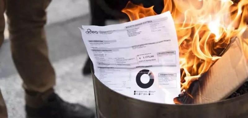
Electricity prices in Europe - Western countries record the highest tariffs
Household electricity and natural gas prices differ significantly between European countries during 2025. As winter approaches, heating demand is increasing......

"More oil surplus next year" - IEA: Global production will increase, while demand has slowed
The International Energy Agency (IEA) said the global oil market will face an even bigger surplus next year, up to 4.09 million barrels per day. OPEC+......
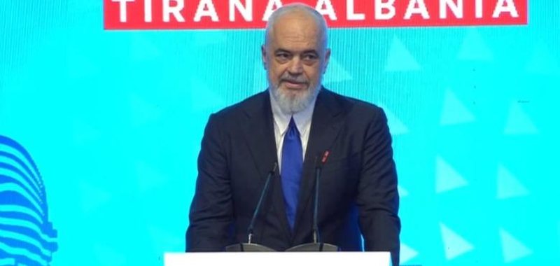
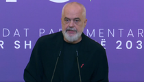
Prime Minister Edi Rama, at the Annual Conference of the IAIS (International Organization of Insurance Supervisors)
Prime Minister Edi Rama is participating in the Annual Conference of the IAIS (International Organization of Insurance Supervisors). This is the largest......

Energy Agreement, Balluku: Evidence of Close Cooperation with the Italian Government
The agreement to strengthen the energy transmission network in Northern Albania is proof of close cooperation with the Italian Government. This is what......