


'Mountain Package', the Government defines development zones in Dibër, Tepelena and Memaliaj
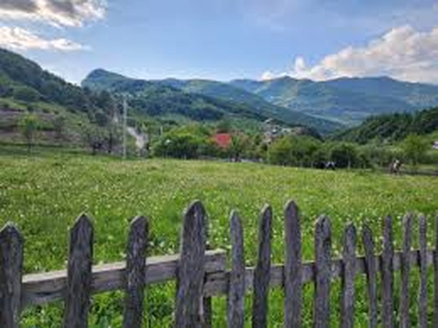
In its last meeting, the government completed the series of decisions for the implementation of the Mountain Package. With special decisions, development zones were defined for the Municipalities of Dibër, Tepelena and Memaliaj.
Below are the decisions for each of the municipalities:
DECISION
ON
ANNOUNCEMENT OF SOME AREAS WITH PRIORITY FOR THE DEVELOPMENT OF THE MOUNTAIN ECONOMY IN THE MUNICIPALITY OF DIBĒR
In support of Article 100 of the Constitution and point 1, Article 4, of Law No. 20/2025, “On the Mountains Package”, upon the proposal of the Minister of State for Local Government, the Council of Ministers
DECIDED:
1. The declaration of "Zone with priority for the development of the mountain economy" in the territory of the Municipality of Dibër, as follows:
a) Development zone no. 1, Bjeshkët e Korabi, with an area of 1146.11 (one thousand one hundred forty-six point eleven) ha, according to the map in the KRGJSH system, presented on the orthophoto;
b) Development zone no. 2, Bjeshkët e Hinoskë, with an area of 272.02 (two hundred seventy-two point zero two) ha, according to the map in the KRGJSH system, presented on the orthophoto;
c) Development zone no. 3, Bjeshkët e Gramës, with an area of 859.80 (eight hundred fifty-nine point eighty) ha, according to the map in the KRGJSH system, presented on the orthophoto;
ç) Development zone no. 4, Bjeshkët e Zimur, with an area of 559.83 (five hundred fifty-nine point eighty-three) ha, according to the map in the KRGJSH system, presented on the orthophoto;
d) Development zone no. 5, Kodra e Gjarica, Brezhdan village, part of the Tomin administrative unit, with an area of 195.72 (one hundred and ninety-five point seventy-two) ha, according to the map in the KRGJSH system, presented on the orthophoto;
dh) Development zone no. 6, Kallë village, part of the Sllovë administrative unit, with an area of 34.32 (thirty-four point thirty-two) ha, according to the map in the KRGJSH system, presented on the orthophoto;
e) Development zone no. 7, Lashkizë village, part of the Zall-Dardhe administrative unit, with an area of 160.48 (one hundred and sixty point forty-eight) ha, according to the map in the KRGJSH system, presented on the orthophoto;
ë) Development zone no. 8, Lugjej village, part of the Zall-Dardhe administrative unit, with an area of 626.74 (six hundred and twenty-six point seventy-four ha), according to the map in the KRGJSH system, presented on the orthophoto;
f) Development zone no. 9, Lura, part of the Lura administrative unit, with an area of 509.05 (five hundred and nine point zero five) ha, according to the map in the KRGJSH system, presented on the orthophoto;
g) Development zone no. 10, Qa (Prat) village, part of the Zall-Dardhe administrative unit, with an area of 107.38 (one hundred and seven point thirty-eight) ha, according to the map in the KRGJSH system, presented on the orthophoto;
gj) Development zone no. 11, Sllatinë village, part of the Sllovë administrative unit, with an area of 79.62 (seventy-nine point sixty-two) ha, according to the map in the KRGJSH system, presented on the orthophoto;
h) Development zone no. 12, Lan – Lura, part of the Lura administrative unit, with an area of 219.35 (two hundred and nineteen point thirty-five) ha, according to the map in the KRGJSH system, presented on the orthophoto;
i) Development zone no. 13, meadows of Kalla – Vleshë, part of the villages of Kalla and Vleshë, part of the Sllovë administrative unit, with an area of 868.34 (eight hundred and sixty-eight point thirty-four) ha, according to the map in the KRGJSH system, presented on the orthophoto;
j) Development zone no. 14, Drin river valley, with an area of 971.29 (nine hundred and seventy-one point twenty-nine) ha, according to the map in the KRGJSH system, presented on the orthophoto;
k) Development zone no. 15, part of the administrative units Selishtë and Luzni, with an area of 8590.19 (eight thousand five hundred and ninety point nineteen) ha, according to the map in the KRGJSH system, presented on the orthophoto;
l) Development zone no. 16, Rabdisht village, part of the Melan administrative unit, with an area of 1421.12 (one thousand four hundred and twenty-one point twelve) ha, according to the map in the KRGJSH system, presented on the orthophoto.
2. The extent, boundaries and entry and exit points of these areas are determined on the indicative map, according to the KRGJSH system, which is attached to this decision.
3. The types of activities that will take place in this area are:
a) economic development;
b) industrial development;
c) tourist development.
4. The Ministry of Economy and Innovation, the State Cadastre Agency and the Municipality of Dibër are responsible for the implementation of this decision.
This decision enters into force upon publication in the "Official Gazette".
PRIME MINISTER
EDI RAMA
***
DECISION
ON
ANNOUNCEMENT OF SOME AREAS WITH PRIORITY FOR THE DEVELOPMENT OF THE MOUNTAIN ECONOMY IN THE MUNICIPALITY OF MEMALIJ
In support of Article 100 of the Constitution and point 1, Article 4, of Law No. 20/2025, “On the Mountains Package”, upon the proposal of the Minister of State for Local Government, the Council of Ministers
DECIDED:
1. The declaration of "Zone with priority for the development of the mountain economy" in the territory of the Municipality of Memaliaj, as follows:
a) Development zone no. 1, which includes territories from the villages of Arrëz e Madhe, Maricaj and Vagalat, part of the administrative unit of Luftinjë, with an area of 1,152.01 ha (one thousand one hundred and fifty-two point zero one) ha, according to the map in the KRGJSH system, presented on the orthophoto;
b) Development zone no. 2, the administrative unit of Buz, with an area of 5,916.22 ha (five thousand nine hundred and sixteen point twenty-two) ha, according to the map in the KRGJSH system, presented on the orthophoto;
c) Development zone no. 3, the village of Rabie, part of the administrative unit of Luftinjë, with an area of 1,241.43 ha (one thousand two hundred and forty-one point forty-three) ha, according to the map in the KRGJSH system, presented on the orthophoto.
2. The extent, boundaries and entry and exit points of these areas are determined on the indicative map, according to the KRGJSH system, which is attached to this decision.
3. The types of activities that will take place in this area are:
a) economic development;
b) industrial development;
c) tourist development.
4. The Ministry of Economy and Innovation, the State Cadastre Agency and the Municipality of Memaliaj are responsible for the implementation of this decision.
This decision enters into force upon publication in the "Official Gazette".
PRIME MINISTER
EDI RAMA
***
DECISION
ON
ANNOUNCEMENT OF SOME AREAS WITH PRIORITY FOR THE DEVELOPMENT OF THE MOUNTAIN ECONOMY IN THE MUNICIPALITY OF TEPELEĆ
In support of Article 100 of the Constitution and point 1, Article 4, of Law No. 20/2025, “On the Mountains Package”, upon the proposal of the Minister of State for Local Government, the Council of Ministers
DECIDED:
1. The declaration of "Zone with priority for the development of the mountain economy" in the territory of the Municipality of Tepelena, as follows:
a) Zone no. 1, part of the administrative unit Kurvelesh, with an area of 9673 (nine thousand six hundred and seventy-three) ha, according to the map in the KRGJSH system, presented on the orthophoto;
b) Zone no. 2, part of the administrative unit Lopa, with an area of 3741 (three thousand seven hundred and forty-one) ha, according to the map in the KRGJSH system, presented on the orthophoto;
c) Zone no. 3, part of the administrative unit Qendër-Tepelena, with an area of 19291 (nineteen thousand two hundred and ninety-one) ha, according to the map in the KRGJSH system, presented on the orthophoto.
2. The extent, boundaries and entry and exit points of these areas are determined on the indicative map, according to the KRGJSH system, which is attached to this decision.
3. The types of activities that will take place in this area are:
a) economic development;
b) industrial development;
c) tourist development.
4. The Ministry of Economy and Innovation, the State Cadastre Agency and the Municipality of Tepelena are responsible for the implementation of this decision.
This decision enters into force upon publication in the "Official Gazette".
PRIME MINISTER
EDI RAMA
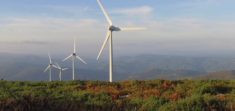
Qeveria miraton ndërtimin e dy parqeve eolike në Korçë dhe Dibër, 55 dhe 10 megavat
Në mbledhjen e saj të fundit qeveria ka miratuar ndërtimin e dy parqeve fotovoltaike, një në Korçë dhe një në Dibër, të cilët së bashku kanë një kapacitet të......

Trump në Davos: Askush veç SHBA-së nuk e siguron Groenlandën, PE pezullon punën për marrëveshjen tregtare BE-SHBA
Një fjalim që ka zgjatur 1 orë e 10 minuta nga të cilat një orë iu kushtuan tematikave ndërkombëtare, Presidenti amerikan Trump iu drejtua një audience që......

DAVOS – Trump: I love Europe, but it's not going in the right direction
US President Donald Trump claimed today during his speech at the World Economic Forum in Davos that "Europe is not going in the right direction," according......

Albania is presented at FITUR Madrid with "Albania All Senses" — Minister Gonxhja calls for the development of year-round tourism!
At the opening of the FITUR International Tourism Fair in Madrid, the Minister of Tourism, Culture and Sports, Blendi Gonxhja, presented the Albanian......
Police warn: Beware of fraudulent websites that request fake payments for vehicle fines
The Directorate for the Investigation of Cybercrime informs citizens that the circulation of fraudulent messages (SMS) and fake links has recently been......

Challenges for energy market integration - From consumer rights to energy poverty. The measures needed
Our country must take a series of steps to integrate into the European energy market, starting from consumer rights, energy poverty or the price for emitted......

How does unfair competition affect formal businesses? - Gjokutaj: Informality directly affects the expansion of activity
According to the Investment Council survey, since 2017 to date, the perception of informality in the country remains stable and high: 7 out of 10 companies......

"Tourism boosted the Albanian economy" - EC: Example of price stability in the region. Exports of goods suffer from strong lek
Serbia, Albania and Bosnia and Herzegovina, the three largest economies in the region, generally maintained the same pace of economic expansion in the last......