The Mountains Package, here are the 39 areas with primary development in the Municipalities of Saranda, Tropoja, Gramsh and Kuçovë

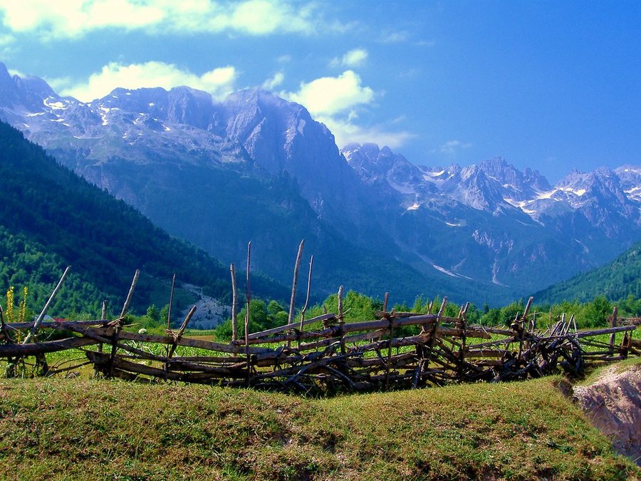
In its meeting today, the government approved 39 priority development areas in the municipalities of Saranda, Tropoja, Gramsh and Kuçovë. According to the government's decisions, the relevant areas are:
For the Municipality of Gramsh:
a) Zone no. 1, the villages of Bicaj, Lenie, Grabovë e Poshtme, Valth, Sojnik and Bulçar, parts of the administrative units of Lenie, Kukur and Kodovjat, Gramsh Municipality, Elbasan District, with an area of 5,500 (five thousand five hundred) ha, according to the map in the KRGJSH system;
b) Zone no. 2, the villages of Kalaj, Gribë and Kukur, part of the Kukur administrative unit, Gramsh Municipality, Elbasan District, with an area of 2,151 (two thousand one hundred and fifty-one) ha, according to the map in the KRGJSH system;
c) Zone no. 3, the villages of Skënderbegas, Sëmbërdhenj, Bletëz, Ermenj, Kotkë and Kullollas, part of the Skënderbegas administrative unit, Gramsh Municipality, Elbasan District, with an area of 2,825 (two thousand eight hundred and twenty-five) ha, according to the map in the KRGJSH system;
ç) Zone no. 4, the villages of Drizë and Cingar i Poshtëm, part of the administrative unit of Pishaj, Gramsh Municipality, Elbasan District, with an area of 195 (one hundred ninety-five) ha, according to the map in the KRGJSH system;
d) Zone no. 5, the villages of Bërsnik i Sipërm and Posnovisht, part of the administrative unit of Kodovjat, Gramsh Municipality, Elbasan District, with an area of 1,186 (one thousand one hundred and eighty-six) ha, according to the map in the KRGJSH system;
dh) Area no. 6, the villages of Kutërqar and Kodër Zgjupe, part of the Sult administrative unit, Gramsh Municipality, Elbasan District, with an area of 1,293 (one thousand two hundred and ninety-three) ha, according to the map in the KRGJSH system;
e) Zone no. 7, the villages of Tervol and Vinë, part of the administrative unit of Pishaj, Gramsh Municipality, Elbasan District, with an area of 1,081 (one thousand eighty-one) ha, according to the map in the KRGJSH system;
ë) Area no. 8, Qerret village, part of the administrative unit Pishaj, Gramsh Municipality, Elbasan District, with an area of 239 (two hundred and thirty-nine) ha, according to the map in the KRGJSH system;
f) Zone no. 9, the villages of Tunjë, Duzh, Lubinjë and Tunjë e Re, part of the administrative unit of Tunjë, Gramsh Municipality, Elbasan District, with an area of 1,535 (one thousand five hundred and thirty-five) ha, according to the map in the KRGJSH system;
g) Area no. 10, Fshat-Gramsh village, part of the administrative unit Pishaj, Gramsh Municipality, Elbasan District, with an area of 298 (two hundred and ninety-eight) ha, according to the map in the KRGJSH system;
gj) Zone no. 11, the villages of Zamshe, Shelcan and Snosëm, part of the administrative units of Kukur and Kodovjat, Gramsh Municipality, Elbasan District, with an area of 1,032 (one thousand thirty-two) ha, according to the map in the KRGJSH system;
h) Area no. 12, Jançe Mal village, part of the Tunjë administrative unit, Gramsh Municipality, Elbasan District, with an area of 137 (one hundred and thirty-seven) ha, according to the map in the KRGJSH system;
i) Area no. 13, Sotirë village, part of the administrative unit of Kushovo, Gramsh Municipality, Elbasan District, with an area of 494 (four hundred and ninety-four) ha, according to the map in the KRGJSH system;
j) Area no. 14, village of Grabovë e Sipërme, part of the administrative unit of Lenie, Municipality of Gramsh, Elbasan District, with an area of 762 (seven hundred and sixty-two) ha, according to the map in the KRGJSH system;
k) Area no. 15, Holtas village, part of the Poroçan administrative unit, Gramsh Municipality, Elbasan District, with an area of 614 (six hundred and fourteen) ha, according to the map in the KRGJSH system;
l) Area no. 16, Tervol village, part of the Pishaj administrative unit, Gramsh Municipality, Elbasan District, with an area of 611 (six hundred and eleven) ha, according to the map in the KRGJSH system.
For the Municipality of Kucova:
a) Area no. 1, Vlashuk village, part of the Kozare administrative unit, Kuçovë Municipality, Berat District, with an area of 43.63 (forty-three point sixty-three) ha, according to the map in the KRGJSH system;
b) Area no. 2, Vlashuk village, part of the Kozare administrative unit, Kuçovë Municipality, Berat District, with an area of 8.08 (eight point zero eight) ha, according to the map in the KRGJSH system;
c) Area no. 3, Frashër village, part of the Kozare administrative unit, Kuçovë Municipality, Berat District, with an area of 38.32 (thirty-eight point thirty-two) ha, according to the map in the KRGJSH system;
ç) Area no. 4, Polovinë village, part of the Perondi administrative unit, Kuçovë Municipality, Berat District, with an area of 4.68 (four point sixty-eight) ha, according to the map in the KRGJSH system;
d) Area no. 5, Velagosht village, part of the Perondi administrative unit, Kuçovë Municipality, Berat District, with an area of 10.21 (ten point twenty-one) ha, according to the map in the KRGJSH system;
dh) Area no. 6, Velagosht village, part of the Perondi administrative unit, Kuçovë Municipality, Berat District, with an area of 5.10 (five point ten) ha, according to the map in the KRGJSH system;
e) Area no. 7, Velagosht village, part of the Perondi administrative unit, Kuçovë Municipality, Berat District, with an area of 88.80 (eighty-eight point eighty) ha, according to the map in the KRGJSH system;
ë) Area no. 8, Velagosht village, part of the Perondi administrative unit, Kuçovë Municipality, Berat District, with an area of 7.44 (seven point forty-four) ha, according to the map in the KRGJSH system;
f) Area no. 9, Havalehas village, part of the Kozare administrative unit, Kuçovë Municipality, Berat District, with an area of 6.64 (six point sixty-four) ha, according to the map in the KRGJSH system;
g) Area no. 10, villages of Goraj and Sheqës, part of the administrative units of Perondi and Lumas, Municipality of Kuçovë, Berat District, with an area of 1.76 (one point seventy-six) ha, according to the map in the KRGJSH system;
gj) Area no. 11, the villages of Goraj and Sheqës, part of the administrative units of Perondi and Lumas, Kuçovë Municipality, Berat District, with an area of 0.96 (zero point ninety-six) ha, according to the map in the KRGJSH system;
h) Area no. 12, villages of Goraj and Sheqës, part of the administrative units of Perondi and Lumas, Municipality of Kuçovë, Berat District, with an area of 8.05 (eight point zero five) ha, according to the map in the KRGJSH system;
i) Area no. 13, Lumas village, part of the Lumas administrative unit, Kuçovë Municipality, Berat District, with an area of 14.63 (fourteen point sixty-three) ha, according to the map in the KRGJSH system;
j) Area no. 14, Lumas village, part of the Lumas administrative unit, Kuçovë Municipality, Berat District, with an area of 14.85 (fourteen point eighty-five) ha, according to the map in the KRGJSH system;
k) Area no. 15, Lumas village, part of the Lumas administrative unit, Kuçovë Municipality, Berat District, with an area of 0.92 (zero point ninety-two) ha, according to the map in the KRGJSH system;
l) Area no. 16, Lumas village, part of the Lumas administrative unit, Kuçovë Municipality, Berat District, with an area of 31.73 (thirty-one point seventy-three) ha, according to the map in the KRGJSH system;
ll) Area no. 17, village of Salcë Kozare, part of the administrative unit of Kozare, Municipality of Kuçovë, Berat District, with an area of 0.84 (zero point eighty-four) ha, according to the map in the KRGJSH system;
m) Area no. 18, Polovinë village, part of the Perondi administrative unit, Kuçovë Municipality, Berat District, with an area of 9.84 (nine point eighty-four) ha, according to the map in the KRGJSH system;
n) Area no. 19, Luzaj village, part of the Lumas administrative unit, Kuçovë Municipality, Berat District, with an area of 36.90 (thirty-six point ninety) ha, according to the map in the KRGJSH system.
For the Municipality of Saranda:
a) Area no. 1, part of the village of Gjashtë, cadastral area 2806, administrative unit of Saranda, Municipality of Saranda, Vlorë District, with an area of 22 (twenty-two) ha, according to the map in the KRGJSH system;
b) Area no. 2, part of the villages of Gjashtë and Çukë, cadastral area 1430, administrative unit of Saranda, Municipality of Saranda, Vlorë District, with an area of 43 (forty-three) ha, according to the map in the KRGJSH system.
For the Municipality of Tropoja:
a) Zone no. 1, “Lugut i Thiut”, part of the Bujan administrative unit, Tropoja Municipality, Kukës District, with an area of 140.07 (one hundred and forty point zero seven) ha, according to the map in the KRGJSH system;
b) Zone no. 2, “Kucaj – Sylbicë – Dobërdol” Mountains, part of the Tropojë administrative unit, Tropojë Municipality, Kukës District, with an area of 5,547.77 (five thousand five hundred forty-seven point seventy-seven) ha, according to the map in the KRGJSH system.

US Embassy: Increase vigilance, Iran-linked groups may also target Albania
The United States Embassy in Tirana has requested increased vigilance from citizens. According to this embassy, Albania is not out of the focus of the......
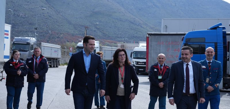
Minister Malaj at the Hani i Hoti customs: Facilitation of procedures for business, standard for EU integration
The Minister of Finance, Mr. Petrit Malaj, together with the Director General of Customs, Mr. Besmir Beja, conducted a working visit to the Hani i Hotit......

Supervisory Council: Holta Zaçaj, First Deputy Governor of the Bank of Albania
From the Constitutional Court to the Bank of Albania. The Supervisory Council of the BoA has decided that Holta Zaçaj will be the First Deputy Governor of......
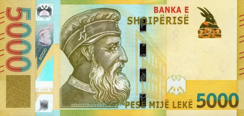
The economy "needs" more money, reprinting of the 5,000 lek banknote approved
The Supervisory Council of the Bank of Albania has approved the reprinting of the Albanian metal coin with legal tender value of 20 Lekë and the Albanian......
Licensing of banks and other financial institutions, Bank of Albania strengthens rules
The Bank of Albania has decided to amend several regulations on the licensing of banks, non-bank financial entities, payment institutions and electronic......
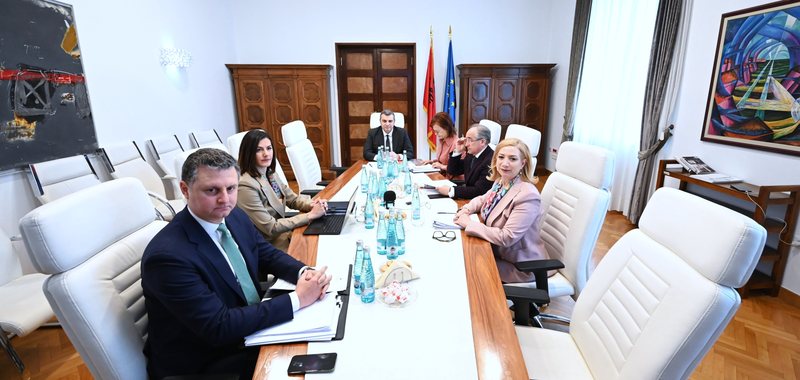
Financial Stability Report: In the second half of 2025, bank profits were declining
The Supervisory Council of the Bank of Albania approved today the Financial Stability Report, one of the important periodic documents prepared by the BoA.......
“100 lek/liter fuel compensation” - Transport associations: Reactivate the support scheme. Karakaçi: We are reviewing it
The reactivation of the support scheme, through the 100 lek/liter compensation, is one of the measures being considered by the government to support the......

Foreign investments, in the filter - Ibrahimaj: Inter-ministerial board for critical sectors
Investments coming from countries outside the European Union in the fields of media and defense will be reviewed by an inter-ministerial board. The news was......