


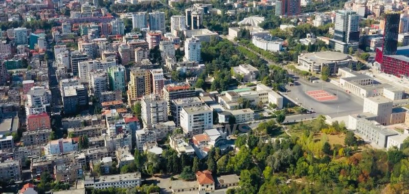
Land Parcel Identification System - What is LIPS? Unique code for each parcel, highlighting barren areas

The Land Parcel Identification System (LIPS) will soon be implemented in Albania, providing solutions to problems with map overlays.
The Agency for Agricultural and Rural Development has initiated cooperation with the United Nations Office for Project Services (UNOPS) within the framework of the EU4PropertyRights project, for the implementation of this system, which is key to the administration of agricultural lands, facilitating the registration of parcels and ensuring accurate and fair payments to farmers.
But what exactly is LIPS? LIPS (Land Parcel Identification System) is a geoinformation system (GIS) used to identify, register and manage agricultural land parcels.
This system is an essential part of the European Union's Common Agricultural Policy (CAP) and serves to ensure that agricultural subsidies are granted only to land that meets the specified conditions.
But how does it work? Each parcel of arable land has a unique identifier (ID) in the system. Parcels are recorded on a digital map, usually through satellite images or aerial photographs. The data includes: Area (in hectares); Geographic location (coordinates); Type of crop; Land owner or user.
The main goals of LIPS are the management of agricultural subsidies; Control and transparency over land use; Detection of overlaps or false declarations of parcels; Sustainable planning of agricultural resources.
In Albania and other Balkan countries, LIPS is used by agricultural agencies to register farmers' agricultural lands, to check whether a parcel is eligible for direct payments, and to ensure that there are no double declarations for the same area.
On the other hand, this system will also serve to identify and bring into production areas left fallow.
According to FAO and INSTAT data, Albania currently has around 698 thousand hectares of agricultural land in total. Of this, around 25-30% is estimated to be fallow land or land that is not regularly used for agriculture.
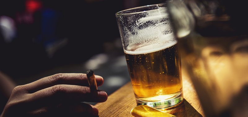
How Much Do We Spend on Alcohol and Tobacco? Education and Healthcare Take a Back Seat to “Vices”
The latest data on the average monthly expenses of Albanian families shows a significant picture of economic and social priorities. “Scan Intel” has analyzed......

Albania's EU membership, between geopolitics and merit - The Union, maximum attention in the region. How and why did this approach change?
"The future of the Western Balkans lies in the European Union", these were some of the words of the President of the European Commission on the first day of......

From security to investment: ALBSIG welcomes media to modern facilities at Downtown One
ALBSIG, part of the Kastrati Group, welcomed media representatives to its new premises in the iconic Downtown One building, where a press conference was held......
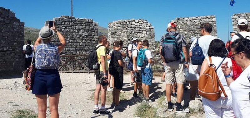
Record number of visitors to cultural and historical sites - Prime Minister Rama: 57% increase compared to last year
The number of foreign visitors to our cultural and historical sites is increasing. Prime Minister Edi Rama announced in a post on social networks that from......

"There is no time to wait"! - Von der Leyen in Montenegro appeals to investors
"Montenegro has tremendous potential, but investment in the economy has not yet reached this potential," said European Commission President Ursula von der......

1 in 7 inventions in Germany, by immigrants - Study: They are increasingly contributing to the country's development
According to the Institute for German Economics (IW), an increasing number of patents in Germany come from people with a foreign background. In 2022,......
Greece's energy transition at risk - What are the obstacles threatening the 2030 targets?
Over-reliance on photovoltaic panels and the slow development of new technologies or energy storage systems are jeopardizing Greece's green future. The......
From January 1, 2026, the revaluation of assets begins - Builders: The "market value" should be clarified! The effect should be extended until December
The Builders Association has suggestions regarding the draft decision on property revaluation, which is currently in the public consultation......