


New national fire risk map - Greece aims to prevent climate risks
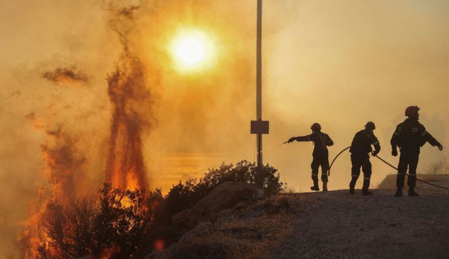
The National Forest Fire Risk Assessment Map in Greece has entered into force, following approval by the Minister of Climate Crisis and Civil Protection. The new map constitutes one of the most important reforms in the history of Civil Protection and fundamentally changes the way the country prevents and treats fires.
The new map is based on modern data from the last twenty years, taking into account the type and structure of vegetation, climatic conditions and the frequency of occurrence of high risk indicators (3, 4 and 5) on the daily forecast map. In this way, the country receives for the first time an objective and reliable picture of the real risk in each region, moving away from the simplified cartographies of the past.
The result is the classification of municipalities into three risk categories - low, medium and high. The classification is now done by municipality and not by prefecture, which allows for greater precision in planning, specialized preventive actions and fair distribution of resources. Thus, areas with increased risk receive the tools and resources they really need.
This improvement marks the transition to a new model of Civil Protection, based not only on intervention, but also on early recognition of risk. This year's map captures the reality as it has been shaped by the climate crisis: more frequent heat waves, increased drought and more days with high fire risk.
The new tool allows the Fire Department to redeploy forces based on scientific criteria, while fire protection and clean-up projects are prioritized based on real risk data. Municipalities gain a clear framework of priorities for prevention projects, infrastructure and personnel reinforcement. At the same time, Civil Protection funding can now be directed where the risk is greatest.
The new framework is not limited to fires. As the Civil Protection emphasizes, it creates a foundation for broader climate resilience, as areas affected by fires are often vulnerable to secondary phenomena, such as flooding or erosion. The new map allows the state to take preventive actions in these areas as well.

Who benefits from the 10% VAT compensation? - Procedures that farmers must follow and products covered by the scheme
From January 1, 2026, a 10% compensation rate for farmers comes into effect, as part of the fiscal package. The reform aims to ease production costs by......
450 million euros from international lenders - Montenegro receives loan to expand fiscal reserves
Montenegro's Ministry of Finance signed a 5-year loan agreement of 450 million euros with a group of foreign banks to help expand the country's fiscal......
Passenger rights law remains “suspended” - EU lawmakers under pressure from aviation industry
European lawmakers failed to agree on a controversial law on air passenger rights during recent talks. The process, which has dragged on for over a decade,......
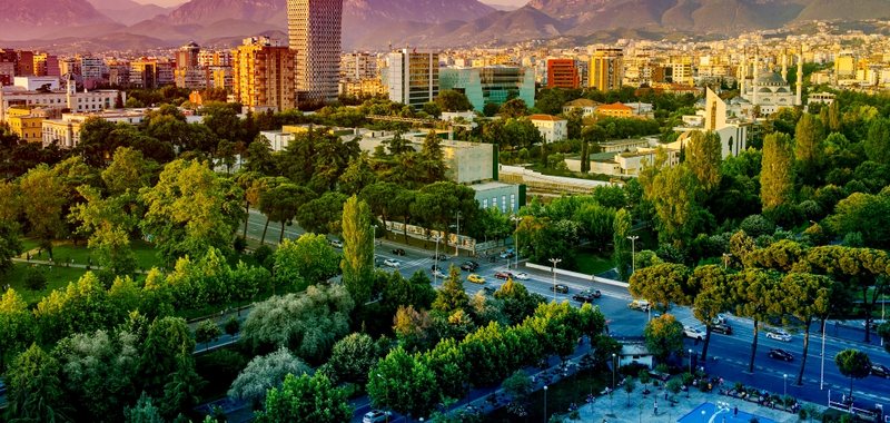
Tirana, a "magnet" of businesses - How are economic activities distributed in Albania?
According to data from the National Business Center, there are currently 408,620 active businesses in Albania. A figure that shows not only the expansion of......

"AI is helping global economic growth" - OECD: Investments in this sector are offsetting tariffs
Global economic growth is continuing better than expected as a boom in investment in artificial intelligence helps offset some of the shock from rising U.S.......
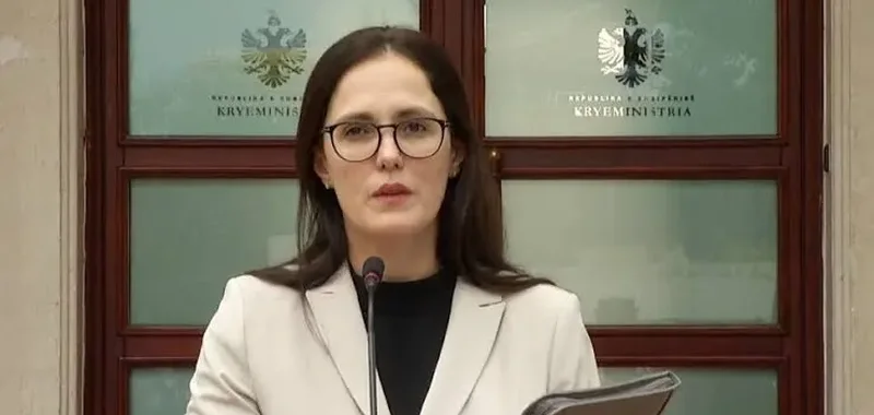
Pensioner bonus, Ibrahimaj: In 2 days, 42 thousand pensioners withdrew the benefit
The Minister of Economy and Innovation, Delina Ibrahimaj, announced through a post on social networks that in the first 2 days of the distribution of the......
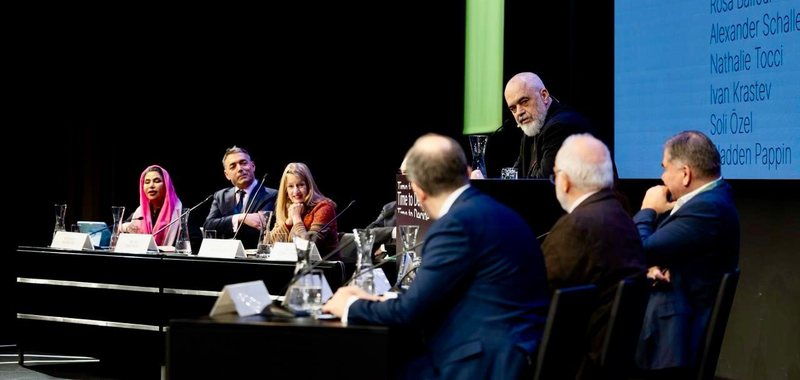
"Time To Decide Europe 2025", Rama at the high-level forum in Vienna
Prime Minister Edi Rama was one of the speakers and panelists at the “Time To Decide Europe 2025” Conference, a high-level forum that addresses key issues on......
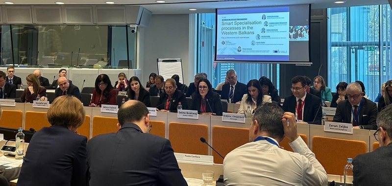
Ibrahimaj presents Albania's progress in Brussels on "Smart Specialisation processes"
The Minister of Economy and Innovation, Delina Ibrahimaj, participated in the high-level roundtable on "Smart Specialisation processes in the Western......